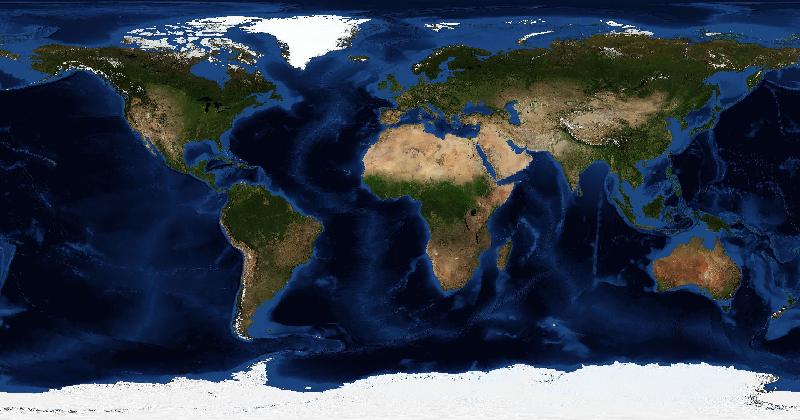
Cover the label on a country outline and you have a puzzle. Place two countries at the same scale and you have a comparison. A map can give someone a question to work on before they have read a caption.
That makes maps useful material for short videos and games. It does not tell us the age of the audience or establish a generational trend. Those claims would need audience data. The appeal of the format is a smaller question we can examine directly.
A shape gives you a starting point
In an outline puzzle, you can look for a peninsula or compare the proportions of the country with one you remember. Even a wrong guess gives you something specific to check against the answer.
A satellite image adds more possible clues. You may recognise a harbour while someone else notices a mountain range. Explaining which feature led to the guess can be as interesting as revealing the place name.
A size comparison can challenge a familiar map
A comparison of Greenland and Africa can expose the area distortion in a familiar rectangular world map. The comparison needs a consistent scale: resizing two outlines independently would defeat the point.
This is also a reason to inspect map content critically. Projection, cropping, and colour choices affect what a viewer notices. A clear graphic can still leave out information you need to interpret it.
A puzzle gives curiosity a short task
A question such as “which country is this?” has a defined stopping point. You can make a guess, check it, and decide whether to look further. Learning the neighbouring countries or examining the landscape becomes an optional next step.
The format does not require an argument about productivity or self-improvement. Trying to place a familiar-looking shape can be enjoyable on its own.
Discussion works best when the reasoning is visible
A reveal is more useful when a creator points to the clue that mattered. It gives viewers a chance to judge the explanation and try it on another image.
That is the part worth carrying into a geography game with friends: compare the evidence behind your guesses. A missed peninsula or an unfamiliar border can give you a specific place to explore next.